Topographic Map: A map for which the primary purpose is to locate, identify, and depict the measurable form of geographic features on a portion of the surface of the earth, within the limits of scale, usually by the use of contours, shading, hachures, and/or other means of representing relief. Sometimes they include cultural features such as roads, bridges, building, etc.
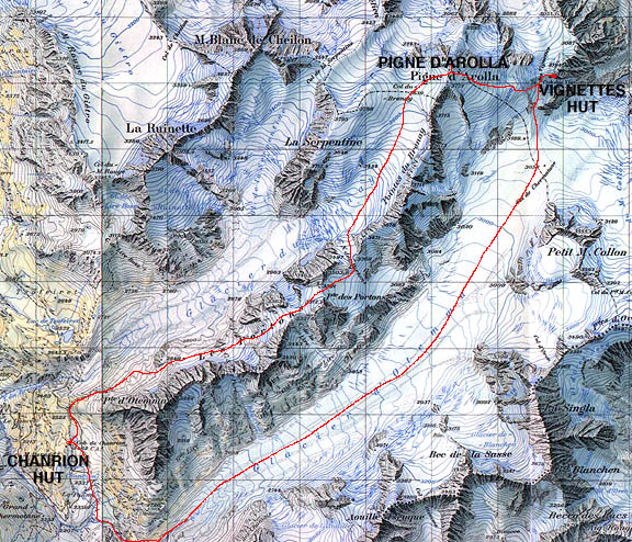
This is a topographic map of the Alps. It shows the height and steepness of the mountains due to shading and outlining of the mountains. The shadows help make it look realistic as if it were what it would look like if you would looking down onto the landscape from the sky.http://www.cosleyhouston.com/images/photos/alps-ski/map-chanrion-vignettes.JPG
No comments:
Post a Comment